Google Maps cannot provide real-time turn-by-turn walking or driving navigation in South Korea due to national security statutes restricting high-precision geospatial data exports. To move through Seoul and regional hubs without navigational errors, travelers must migrate completely to domestic navigation engines—primarily Naver Map for walking and transit, and Kakao T for digital taxi dispatching.
Geopolitical Restrictions and Mapping Blindspots
South Korea's Spatial Data Industry Promotion Act prohibits exporting high-scale (1:5,000) domestic cartographic data to overseas server infrastructure without government-mandated blurring of strategic military and government assets.
Because Google hosts its global mapping database across offshore cloud servers and resists localized censorship directives, it receives only degraded, low-resolution mapping licenses. Consequently, Google Maps in Korea renders static transit outlines but fails to deliver live heading orientations, real-time pedestrian routes, or indoor station wayfinding.
"Relying on Google Maps within South Korea results in dead-end routing, missing alleyways, and unindexed local businesses. Complete transit accuracy requires switching to domestic Korean satellite grids."
- Zero Pedestrian Vectoring: Walking searches yield dotted generic destination lines rather than street-level, turn-by-turn routing.
- Outdated Commercial Metadata: Restaurant operating hours, closures, and menu updates lag by months or years compared to domestic platforms.
- Absence of Underground Wayfinding: Multi-level underground transit stations and complex commercial basement walkways appear as empty geographic voids.
Google Maps vs. Naver Map vs. Kakao T Navigation
| Feature Metric | Google Maps | Naver Map (네이버 지도) | Kakao T (카카오 T) |
|---|---|---|---|
| Walking Navigation | Unsupported (Straight-line estimates only) | Full real-time turn-by-turn with compass vectoring | Integrated transit walking links |
| Transit Arrival Accuracy | Frequent minute-level timing discrepancies | Second-level live bus and metro GPS tracking | Train and bus schedule sync |
| Language Localization | Standard multilingual | Comprehensive English, Chinese, and Japanese UI | English interface with international card support |
| Street & Indoor Views | Low resolution, severely outdated coverage | High-definition street views and detailed indoor layouts | High-precision aerial and road imaging |
| Direct Mobility Integration | Limited third-party handoffs | Integrated reservations and phone links | Native on-demand taxi, van, and bike dispatching |
3-Step Setup Protocol for Flawless Korean Transit
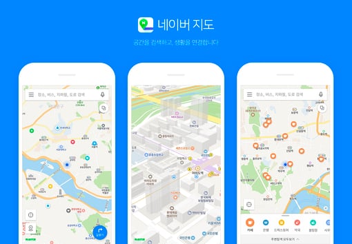
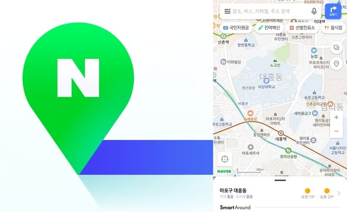
- Step 1: Install Naver Map and Configure English Interface Defaults Download Naver Map from your mobile app store, open the lateral menu, and set the system display language to English. Search destinations using standard Romanized Korean names or exact street addresses. Access real-time bus arrivals and subway car transfer recommendations directly within the primary routing card.
- Step 2: Calibrate Underground Subway Exit Number Sequences When leaving underground train platforms, check Naver Map's designated exit number rather than attempting to navigate by surface landmarks. Korean street wayfinding centers entirely around sequential numbered station exits; surfacing from the wrong staircase forces cross-boulevard pedestrian detours.
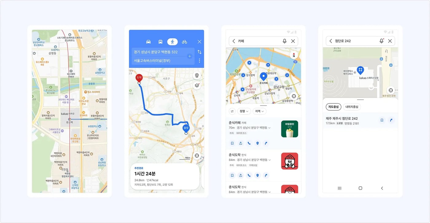
- Step 3: Deploy Kakao T with Driver-Direct Payment Channels Download Kakao T, switch the language profile to English, and bypass local mobile verification prompts by choosing foreign account sign-in options. When calling a vehicle, select "General Request" and designate the payment mechanism as "Pay to Driver." This configuration enables foreign Visa, Mastercard, or American Express cards to be swiped on the vehicle's physical dashboard terminal upon arrival at the destination.